change
 Resource efficiency
Disasters
Resource efficiency
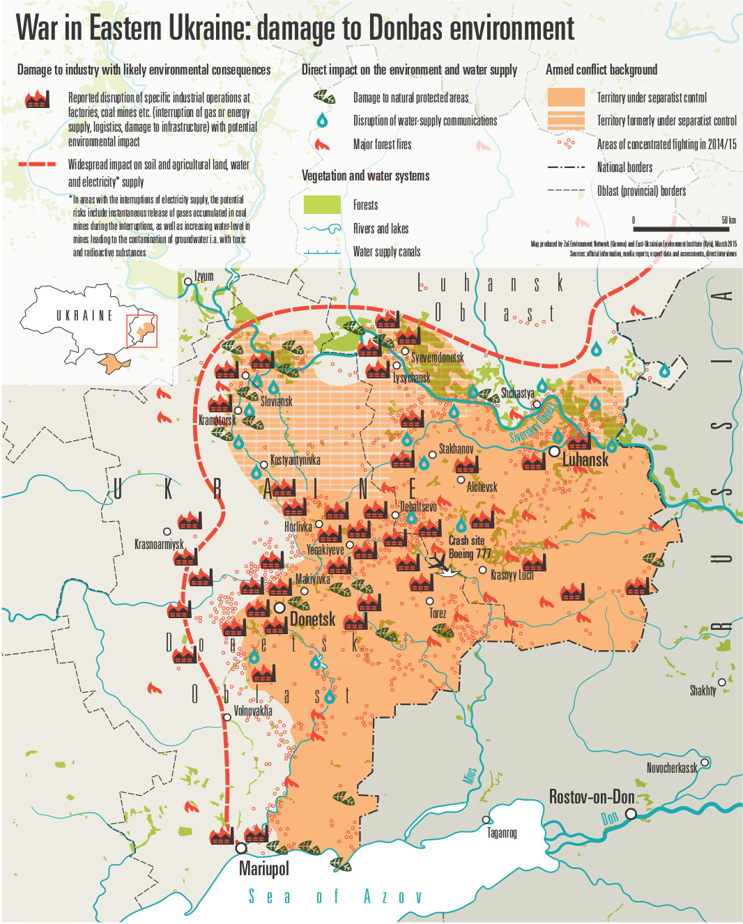
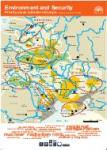
Disastersand conflicts
Environmental governance
Harmful substances
Ecosystems management  Global
Eastern Europe
Caucasus
Central Asia
Balkans
Mediterranean
Global
Eastern Europe
Caucasus
Central Asia
Balkans
Mediterranean  THINK!
TELL!
ACT!
TEACH!
THINK!
TELL!
ACT!
TEACH! 


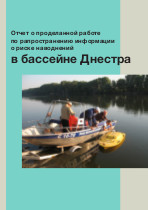


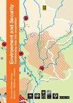
 These maps in Russian and Ukrainian display flood risks in the Dniester river delta and around Mohyliv-Podolskyi.
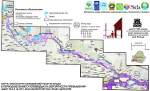 Russian-language maps created for the project "Environment and security in Belarus" – assessing and monitoring floods in the Pripyat river basin.
 Two posters in Russian which describe climate change and its impacts in Belarus.


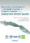
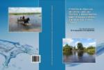
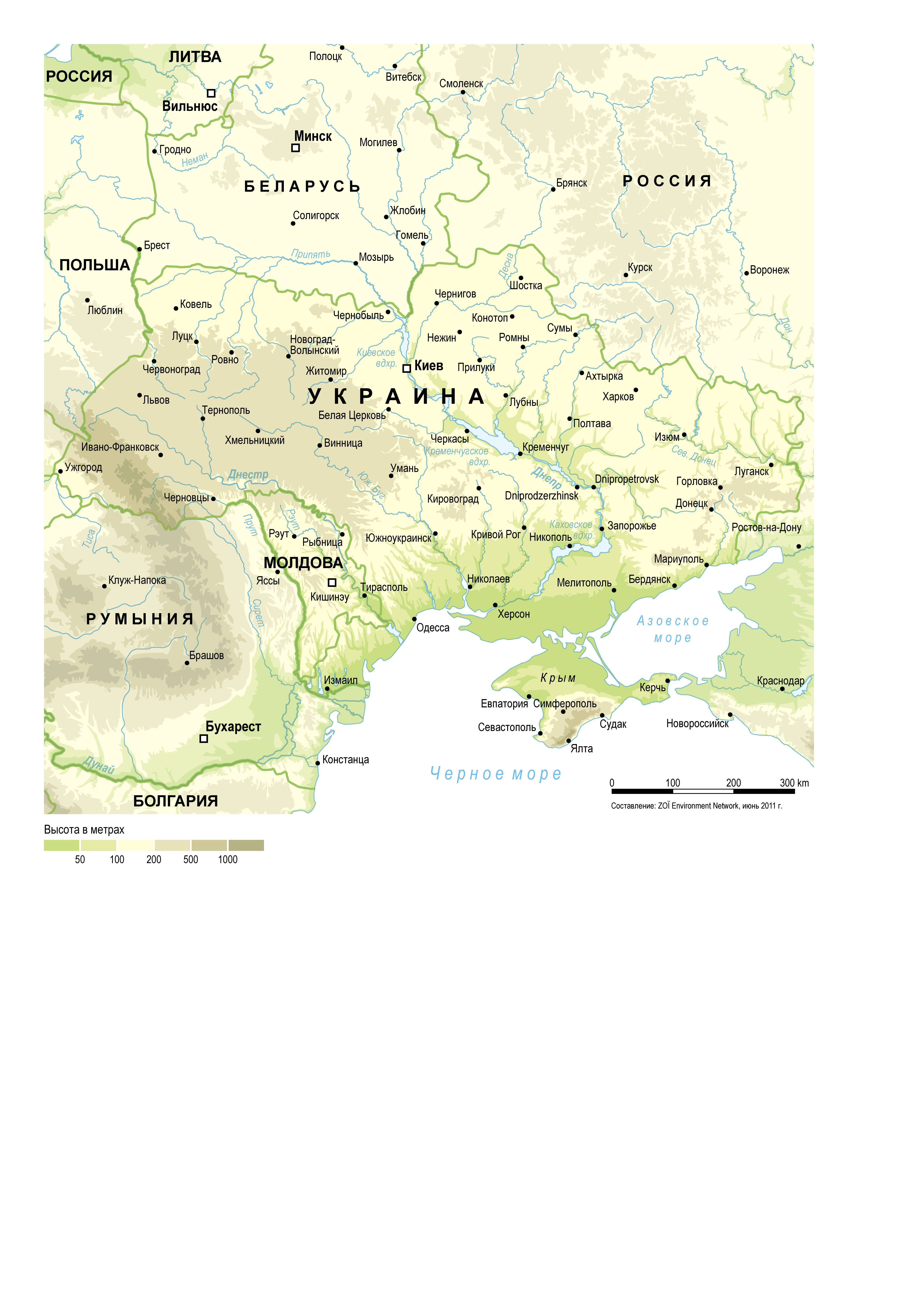
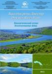 The Environmental Atlas of the Dniester Basin is the first attempt to present the environmental state of the transboundary river in a visual format which includes over 30 thematic maps of the basin, graphics, diagrams and pictures. The target groups for the Atlas are specialists in environmental protection, as well as the authorities and the population in the Dniester basin.
 This map by Zoï environment network is a contribution to an international effort to support Ukraine and Moldova in jointly managing their shared Dniester river. Besides being used in numerous reports and publications, the map is also 'carved in stone' on nearly fifty information boards mounted along the Dniester river from its source to the mouth. Hopefully this will help people of the basin better understand and appreciate their common heritage, thus in the end turning environmental information into action.


 Zoï helps the EMPIS-SEIS (European Neighborhood Policy Instrument - Shared Environmental Information Systems) National Focal Points prepare the Country Reports and associated action lists. These assessment reports describe the existing institutional cooperation in the partner countries in the field of water resources, atmospheric air, soil and biodiversity protection and waste management, assesses current environmental inter-institutional cooperation in these priority fields and identifies the country's capacity for taking SEIS implementation forward.
 Dniester Basin GIS (Geographic Information System)
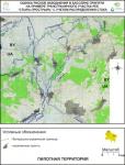 The maps are JPG images in Russian ( large files):

